
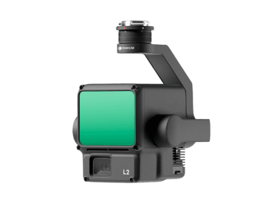
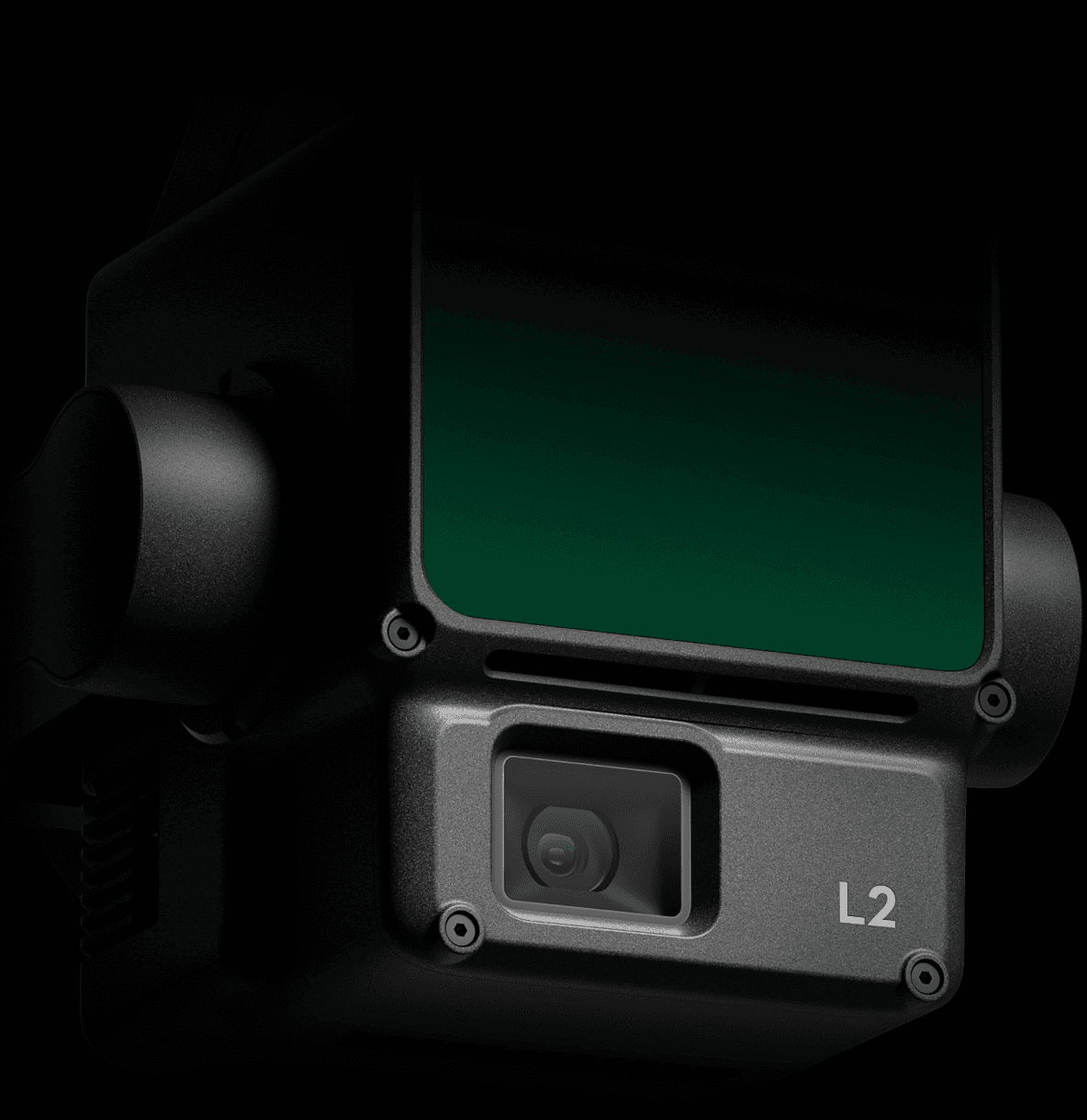
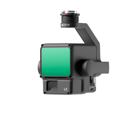
Zenmuse L2
High-Precision Aerial LiDAR System
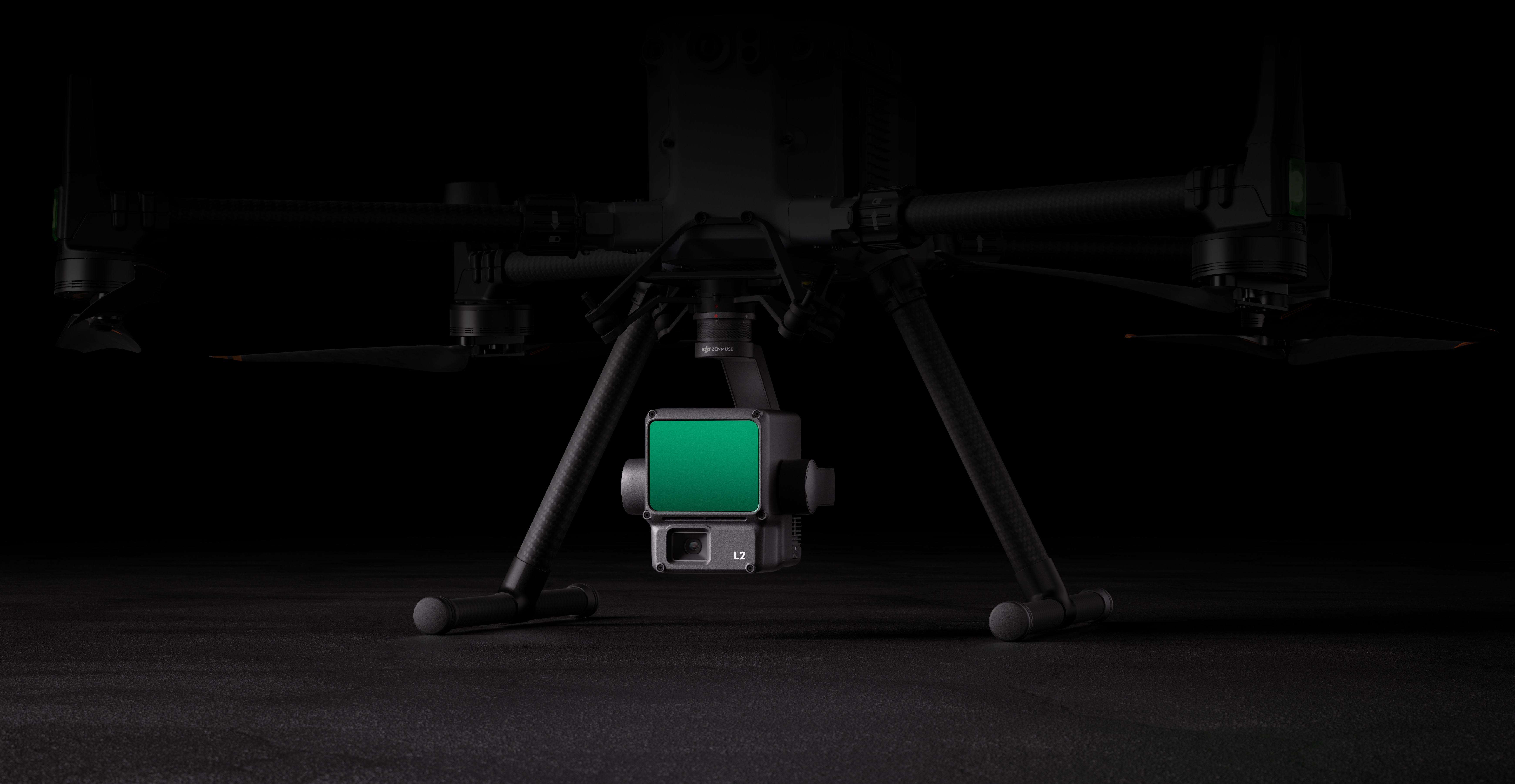
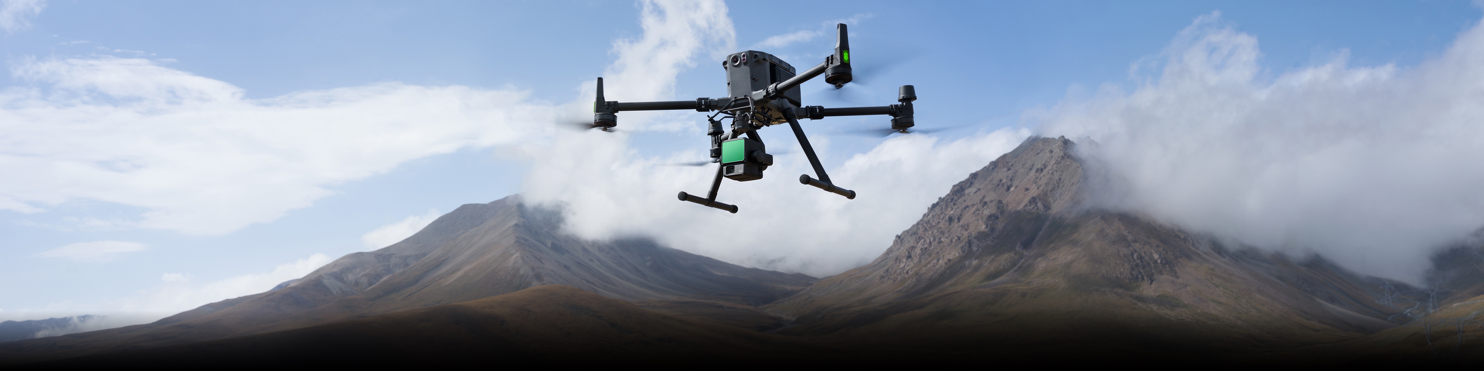
Zenmuse L2
Powerful Range, Elevated Precision
Zenmuse L2 provides DJI platforms with precise and reliable geospatial data acquisition. Combined with DJI Terra, it enables efficient 3D data collection and high-accuracy post-processing.
High Precision
Vertical Accuracy: 4 cm;
Horizontal Accuracy: 5 cm
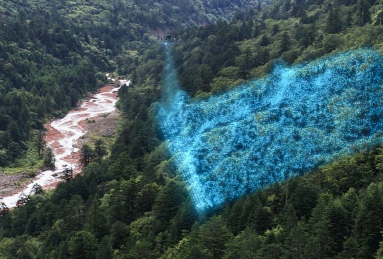
Exceptional Efficiency
2.5 km2 covered in a single flight
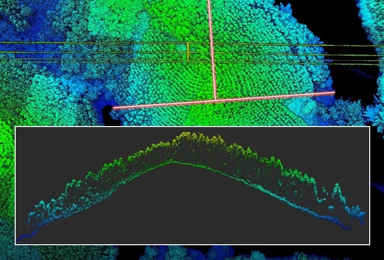
Superior Penetration
Smaller laser spots, denser point clouds
Detection Range
250m @10% reflectivity, 100klx
450m @50% reflectivity, 0klx
5 Returns
Turnkey Solution
Point Cloud LiveView
One-Click Processing on DJI Terra
Integrated LiDAR Solution
Supported by its powerful hardware, L2 can allow for a precise scan of complex subjects within an extended range and faster point cloud acquisition. During operations, users can preview, playback, and process point cloud models on-site, with Task Quality Reports generated by DJI Terra, offering a simple, one-stop solution to improve overall efficiency. This enables users to achieve high-precision point cloud results with one-stop post-processing.
High-Level Precision
By combining GNSS and a high-accuracy self-developed IMU, this solution achieves 4cm vertical accuracy and 5cm horizontal accuracy.
Exceptional Efficiency
It's ready for work as soon as it's powered on and can collect both geospatial and RGB data from a 2.5km² area in a single flight.
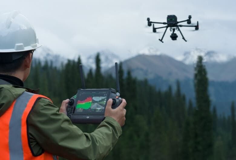
Intuitive Operation
In conjunction with Matrice 350 RTK (or Matrice 400), DJI Terra, and DJI Modify, L2 offers a turnkey solution that is simple to use, lowering the operational threshold.
Frame-Based LiDAR
High-Accuracy IMU System
No IMU Warm-up
The performance of the IMU system has been significantly enhanced, and it is ready for use the moment it's powered on. And, the accompanying drone is ready to begin tasks immediately once the RTK is in FIX status, delivering an optimized in-the-field experience.
RGB Mapping Camera
Enhanced Operational Experience
Zenmuse L2's intelligent recognition algorithm supports identification, tracking, and junction analysis for transmission and distribution lines, enabling semi-automatic flight and data collection.
Supports Waypoint, Area, and Linear Route types, for handling surveying tasks in a variety of environments.
During operation, DJI Pilot 2 supports three display modes - RGB, point cloud, and point cloud/RGB side-by-side display, presenting operational results in an intuitive way. Activating RNG (Laser Rangefinder) enables access to the distance information between the LiDAR module and the object in the center of the FOV, enhancing flight safety. It also supports four real-time point cloud coloring modes - Reflectivity, Height, Distance, and RGB.
Аfter the operation, the 3D point cloud model can be viewed directly in the album. 3D Point cloud models of multiple flights can also be merged, enabling on-site decision-making regarding operational quality.
Аfter point cloud data collection, the DJI Pilot 2 app will automatically generate a Task Quality Report so that operators can check operational results in real-time and on-site, making fieldwork more responsive and worry-free.
In complex operational environments, users can set up RTK base stations before the operation to preemptively avoid the loss of RTK data due to interference, src transmission disconnection, or other issues. After the operation, import original files into DJI Terra to use the PPK (post-processing kinematic) process to rebuild high-precision models.
Achieve efficient and reliable one-stop post-processing when importing point cloud data into DJI Terra. Generate a standard-format 3D point cloud model with just a click after point cloud trajectory calculation and accuracy optimization. Upon ground point classification, using Ground Point Type, a DEM can be output. Point cloud quality can be analyzed with the Accuracy Control and Check function.
Zenmuse L2
Powerful Range, Elevated Precision
Contact Us
If you’d like to learn more about our product demo or trial, please share your contact details in the form below.